




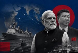







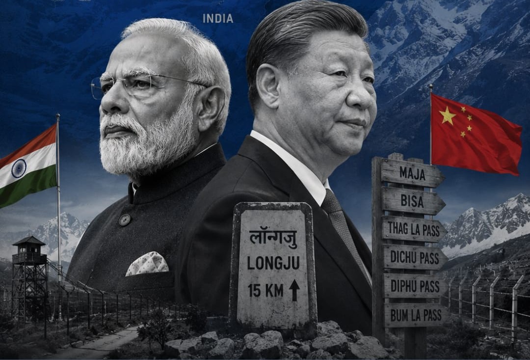
A day after Indian and Chinese officials sat down in New Delhi to talk about keeping the peace along their disputed Himalayan border, India did something that immediately complicated that conversation: it formally named 27 places inside Arunachal Pradesh, several of them sites tied directly to the two countries’ worst military clashes.
What India Actually Did
On August 7, India’s Ministry of Home Affairs announced that the Survey of India had assigned official names to 27 locations across Arunachal Pradesh, the northeastern state China claims as its own. The list covers 21 land areas, four mountain passes, one high-altitude lake, and a memorial, now added to India’s official maps. The government stated reasoning was straightforward: to ensure “accurate recognition” of these places and improve public awareness of their geographical and historical significance, developed in consultation with the state government.
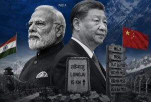
The names themselves are where this gets pointed. Among them is Longju, the village where Indian and Chinese forces clashed in 1959, several years before the two countries went to war. Nearby are the villages of Maja and Bisa, along with Thag La, the mountain pass widely regarded as the flashpoint where the 1962 Sino-Indian War actually began. These aren’t obscure geographic footnotes. They’re some of the most historically loaded coordinates on the entire disputed frontier.
This Is a Response, Not a First Move
It’s worth being clear about the sequence here, because it reframes the story. India’s naming exercise isn’t an opening shot. It’s the latest round in a tit-for-tat pattern that China itself started back in 2017.
Beijing’s Ministry of Civil Affairs has been issuing lists of “standardized” Chinese and Tibetan names for locations in Arunachal Pradesh, which it calls Zangnan, or southern Tibet, for nearly a decade. The first batch covered six places in 2017, widely seen as a response to a visit by the Dalai Lama to the state. A second list of 15 names followed in 2021, then 11 more in 2023, then 30 more in 2024. In April 2026, China issued its largest batch yet. India’s August 7 announcement, naming 27 locations of its own, reads as New Delhi’s most assertive answer to that decade-long campaign so far.
Seen that way, this isn’t really a story about India provoking China. It’s a story about two countries using maps and place names as a proxy battlefield for a territorial dispute neither is willing to concede, with India finally matching Beijing’s approach at scale rather than only issuing verbal objections, which is what it has done for years.
Beijing’s Response Was Immediate and Sharp
China wasted no time. Foreign Ministry spokesperson Guo Jiakun rejected India’s move outright, saying “Zangnan region is China’s territory. China does not recognise the so-called ‘Arunachal Pradesh’ illegally set up by India,” and calling India’s decision to assign its own names “illegal, null and void.” That’s consistent with how Beijing has responded to virtually every Indian statement on this dispute for years, but the timing gave the rejection extra weight this time around.
For its part, India has used nearly identical language in reverse for years, dismissing each of China’s naming rounds as “vain and preposterous” attempts to alter ground reality through what amounts to cartographic fiction. As External Affairs Minister Subrahmanyam Jaishankar put it during an earlier round of China’s renaming push, changing a name doesn’t change ownership: “If I change the name of your house, will it become mine?”
Why the Timing Actually Matters
Place-naming disputes like this have gone on for years without derailing the broader relationship, so why does this instance draw more attention? Because of what else was happening in the same 48 hours.
Just one day before India’s announcement, officials from both countries held a working-level consultation in New Delhi specifically focused on border management, aimed at reaffirming the need for peace along the Line of Actual Control. That meeting was itself part of a broader, cautious normalization process between the two countries this year, one that has included the resumption of border trade through the Nathu La and Shipki La passes as recently as August 1.
India naming 27 sensitive locations, several tied to actual past bloodshed, in the immediate aftermath of a meeting meant to lower the temperature, is the kind of move that risks undoing quiet diplomatic progress even if that wasn’t the intent. Analysts have flagged exactly this concern: symbolic assertions of sovereignty over contested territory tend to land badly regardless of the broader diplomatic context, precisely because they touch the one issue where compromise looks nearly impossible for either side.
The Deeper Standoff This Reflects
Strip away the diplomatic language, and the two countries’ positions on this are genuinely ir-reconcilable, not just tactically difficult. China treats its renaming campaign as a routine act of sovereignty within its own claimed territory. India treats China’s renaming as a deliberate attempt to manufacture a territorial claim that doesn’t otherwise exist. There’s no obvious middle ground between “this is my house” and “you don’t get to name your neighbor’s house,” which is essentially the entire dispute in miniature.
That’s the real significance of India’s 27 names. It’s not a new crisis. It’s a reminder that beneath the recent, genuine improvements in China-India relations, trade resuming, high-level meetings happening, the core territorial dispute over Arunachal Pradesh hasn’t moved an inch, and both sides are still willing to use maps as a way of saying so.









Leave a comment